|
ENTs,
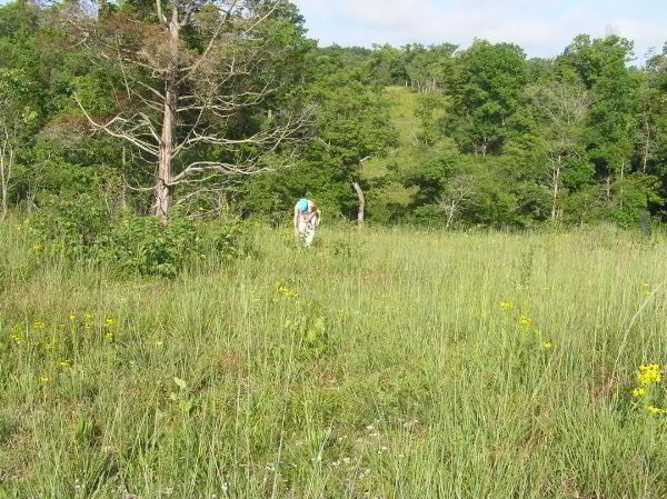
Occasionally we talk about the other native landscapes and as I was
out wondering on a glade this past Monday helping collecting seeds
for Seeds of Success (http://www.nps.gov/plants/sos/)
I took several photos. I have downloaded them to photobucket
at
http://tinyurl.com/nj42xt The photos were taken on Crescent
Knoll Glade at Shaw Nature Reserve (SNR).
For the history of the SNR go to
http://www.shawnature.org/about/SNRhistory.aspx /a> I found it and
interesting read and enjoyed the old photos. I will try to
print those off and go back and try to take a photo from the same
view. As you can see in the old photos most of the 2500 acres
was cleared for farming until the mid 1920's. Even when SNR
was starting up there was different ideas of what needed to be done,
ie trying to get away from the coal smoke in St. Louis, it
should have a proper "English Garden" setting, etc. The
lastest idea is to try to restore it back to what was there when the
ground was originally surveyed. This means that there should
be wide variety of habitats ranging from bottom-land forests, woods,
glades, fens, wetlands, and prairies to mention a few.
For those who don't know where Shaw Nature Reserve is (and I am
assuming there are quite a few of you) it is located near the middle
of the map in the following link in between Robertsville and Grey
Summit along I-44. http://tinyurl.com/mb3ck9
A little closer in. Once again in the center from Old Grey
Summit Road to the Meramec River on the bottom to the straight up
and down road on the left to the were the river starts its "smile"
after the short straight run.
http://tinyurl.com/lbkwst
Beth
Continued
at:
http://groups.google.com/group/entstrees/browse_thread/thread/83514e73ebdd8db4?hl=en
|