On August 21st I took a trip out to South Manitou Island, in
northern
Lake Michigan. This was my second trip out there, the first was
in July
2002:
http://www.nativetreesociety.org/fieldtrips/michigan/south_manitou_island.htm
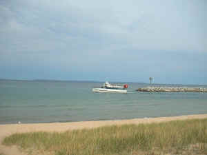
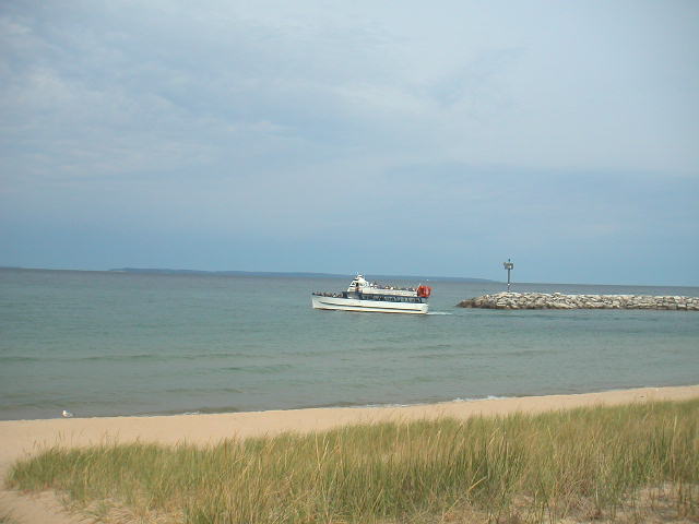
The Mishe Mokwa leaves Leland Harbor for the 17 mile trip across northern Lake Michigan to South Manitou Island. |
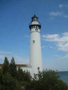
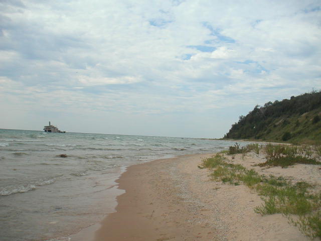
The South Manitou Lighthouse on the east end of the island. |
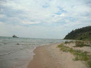
The ferry departed from Leland, Michigan at 10 am and reached
the island
at about 1130, covering a distance of about 17 miles. Some
experienced
kayakers can make it to the island from Sleeping Bear Point, a
distance
of only six miles (provided the waves are calm enough).
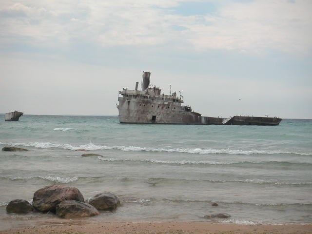
The freighter Fransisco Morazon beached off the southwest part of the island during a storm in November 1960. The ancient cedar trees can be found in a valley just north of the perched dune seen on the right side of the photo. |
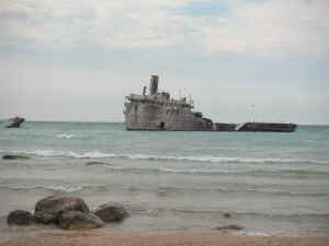
A close up of the rusting shipwreck, now home to a colony of
comorants. |
The
ferry docks
on the southeast part of the island and the trees are on
the
southwest
part, so a hike of about 3.5 miles along the south coast of
the
island
is necessary to reach the trees. The ferry leaves back to the
mainland
at 4 pm, so I had 4.5 hours for the 7 mile roundtrip hike and
inspection
of the trees.
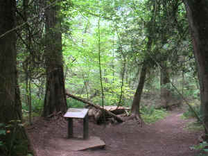
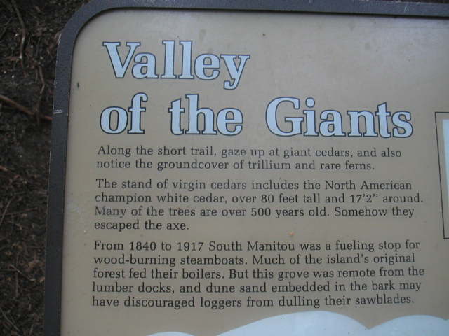
An interpretive sign along the trail at the entrance of the old growth. The island is managed by the National Park Service. |
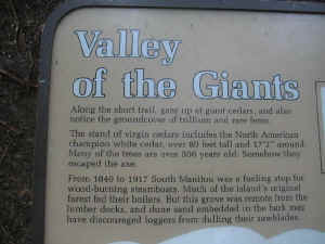
A close up of the sign.
|
The old growth area is about 10 acres and covers
the
southern half of a large perched sand dune and the the valley
north of
it, as well as part of the next dune to the north. These dunes
were
formed after the last ice sheet retreated and dumped large piles
of sand
and gravel, which were eventually sculpted some by erosion
before being
covered by vegetation, which in the intervening 10 thousand
years has
built up an organic layer that allows large trees to grow here.
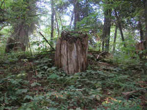
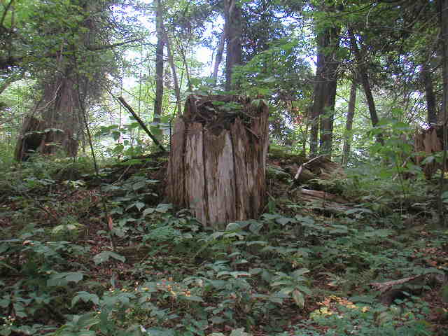
Evidence that some trees were cut even in the midst of the "virgin forest". |
 |
Most of
the island was deforested in the late 19th century, but for some
reason
these trees were not cut. There were signs of large old stumps
near the
edges of the old growth, indicating that logging operations were
nearby,
depsite the remoteness of this stand from known settlements on
the
island.
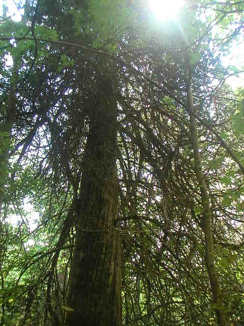
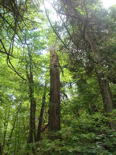
For fans of Thuja Occidentalis, this place is a Mecca. Old
growth cedar
trees are very rare in Michigan, as cedar forests were decimated
along
with white pine in the 19th century lumbering era.
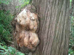 Burl on ancient Red Cedar
These trees
are very
old as well as very large for the species. In fact, the world
record
holder once lived here. It has since died, but several
contenders to
replace it can be found nearby in this stand with dbh of 5 feet
and
heights between 90-100 feet.
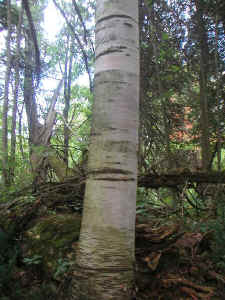
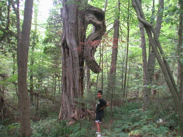
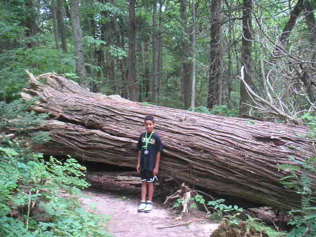
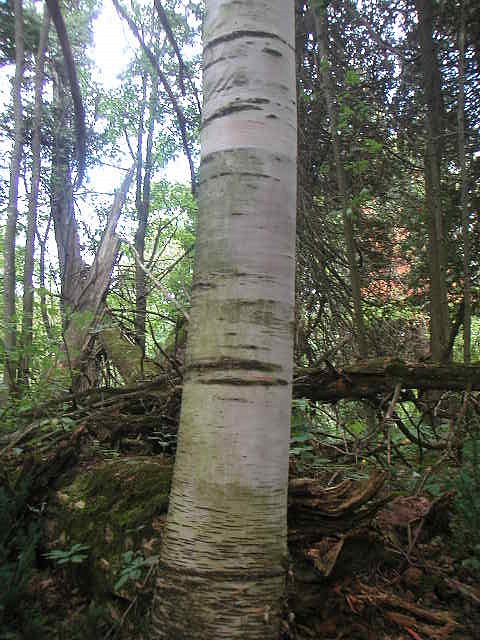
Other species noted here include, sugar maple, paper birch (seen here), cottonwood, and beech. |
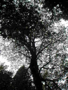
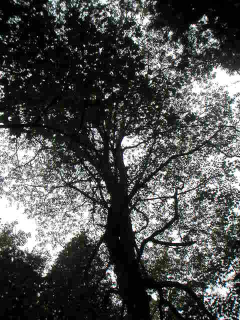
The crown of an old gnarled sugar maple. |
Sugar maple are almost as common as
the
cedar, and other species include cottonwood, beech and paper
birch. I did
not take any measurements while I was there, except for sight
estimates.
A thorough study of heights and girths would mean missing the
ferry
back, so a camping trip will be required next time to accomplish
this.
I have sent Ed photos of the trees, as well as other parts of
the
island.
Ernie Ostuno
|